.svg@webp)
From photos to precise 3D models
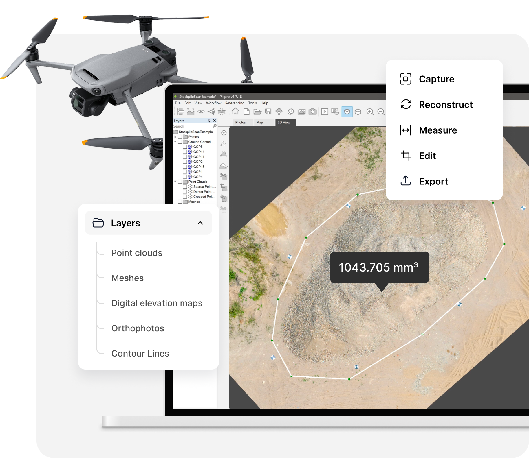
Pixpro is a photogrammetry software application that turns drone or camera photos into accurate 3D models, with built-in tools for precise measurement, surface modeling and analysis.
Free 14-day trial. Cancel anytime.
Built by experts
Tech-minded support
Patented technology
10+ years of experience
From photos to measurements in 3 steps
Pixpro makes drone mapping and photogrammetry processing straightforward. Import your images, let the software build the point cloud and 3D model, then measure and export. A complete drone photogrammetry workflow from raw photos to survey-ready deliverables.
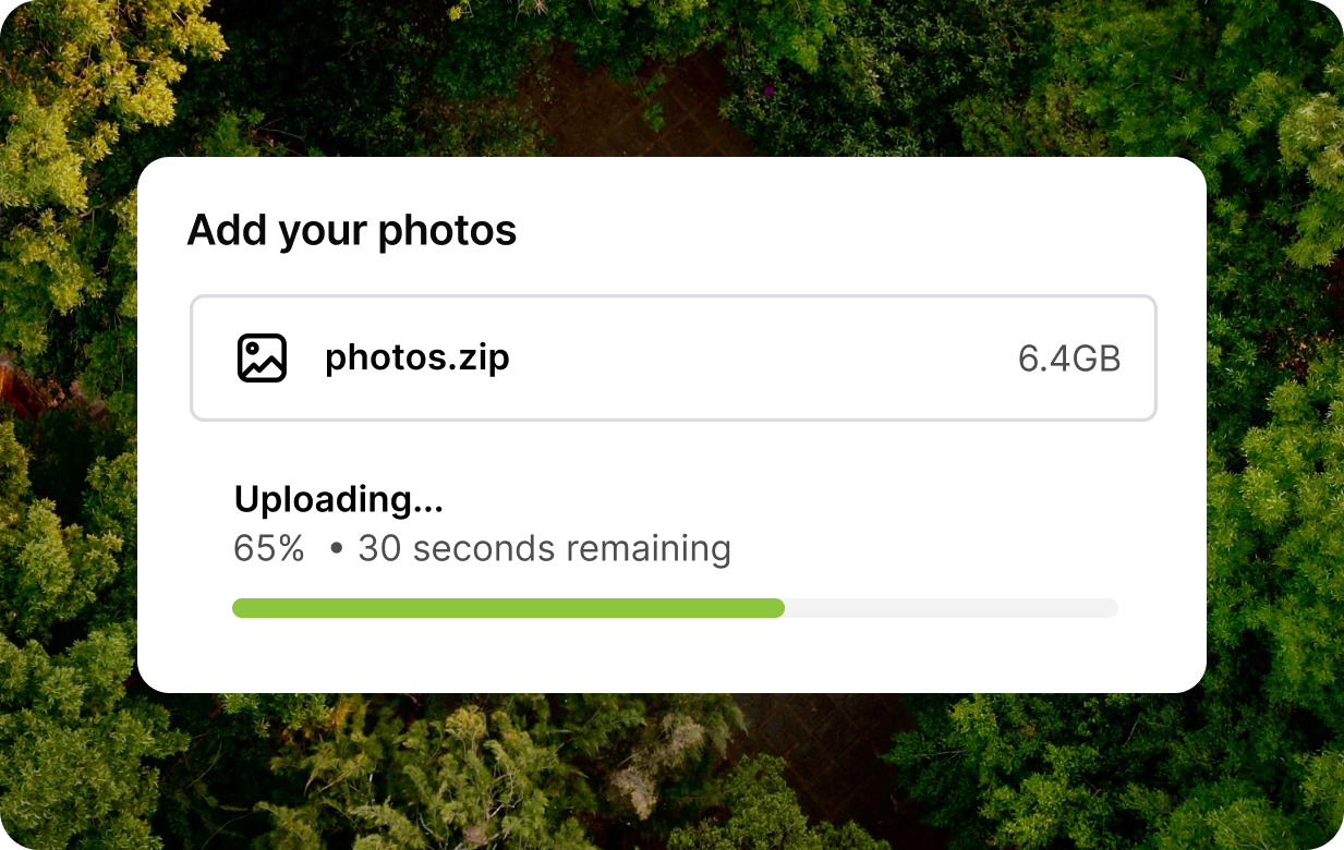
Capture
Drop in photos from any drone or camera. Add RTK or GCP data for extra accuracy — Pixpro reads it straight from EXIF.
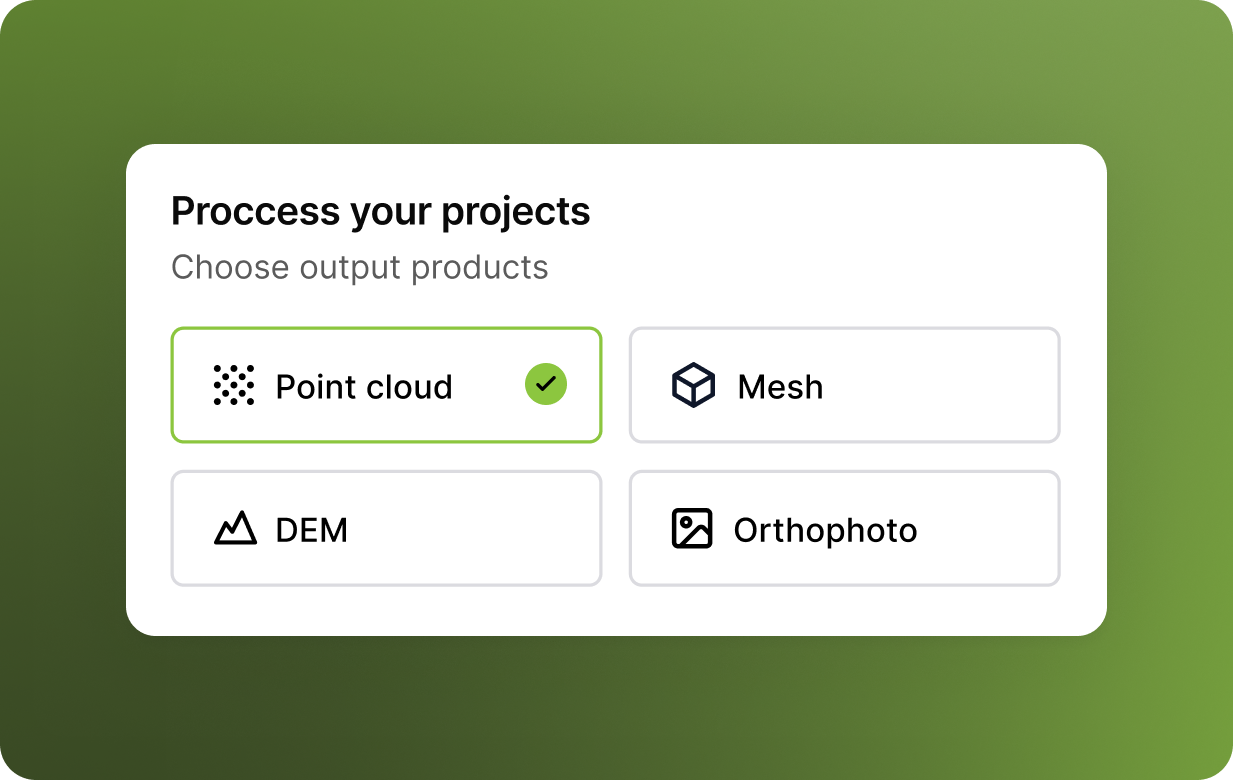
Process
One-button processing generates point clouds, meshes, DEMs and orthophotos automatically, in the cloud or on your own machine.
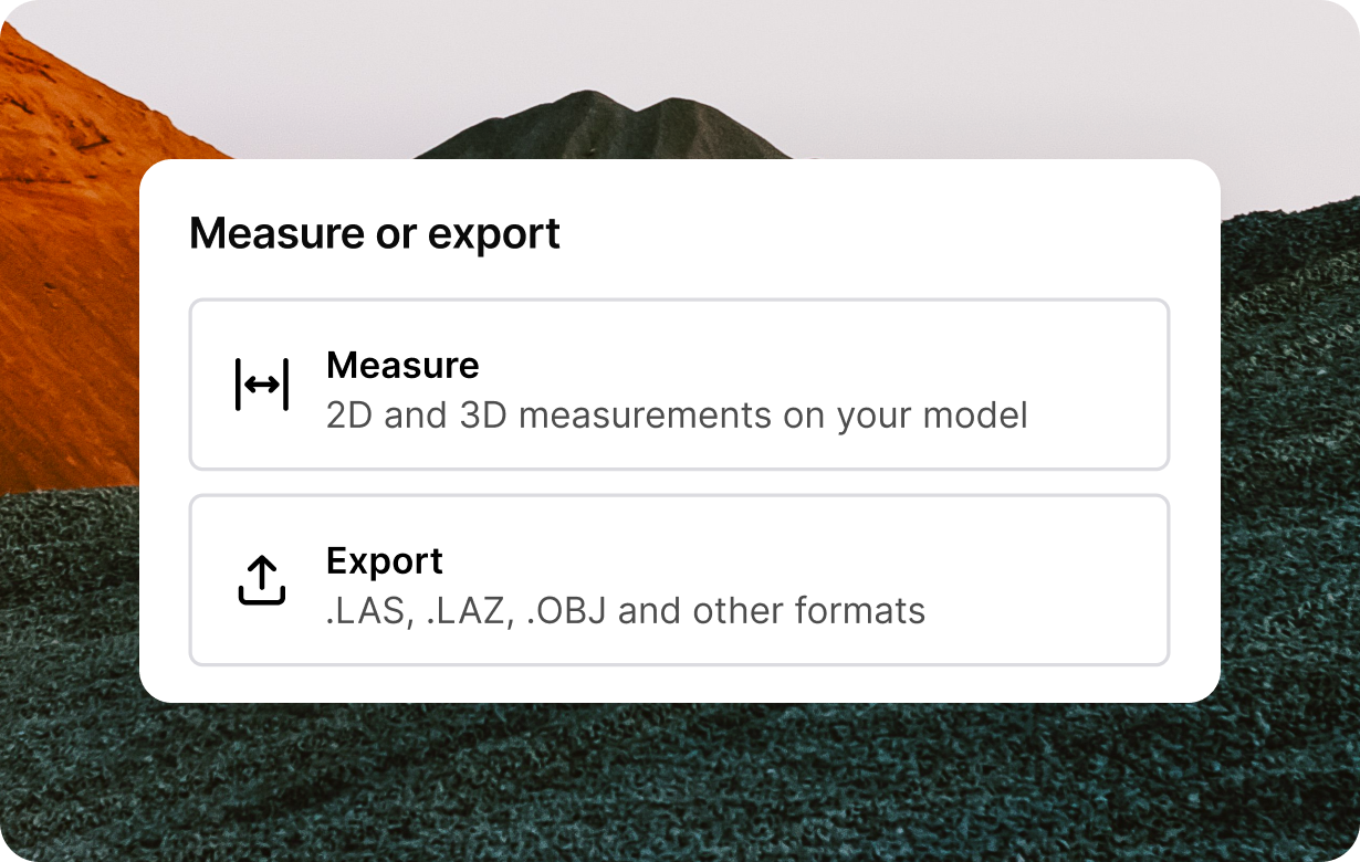
Measure or export
Take 2D and 3D measurements directly on your model, then export to the formats your downstream tools already use.
Every tool you need under one roof
Pixpro combines 3D reconstruction software, mapping and measurement in one program. A complete drone photogrammetry workflow from raw photos to survey-ready deliverables.
View all featuresPoint clouds & 3D meshes
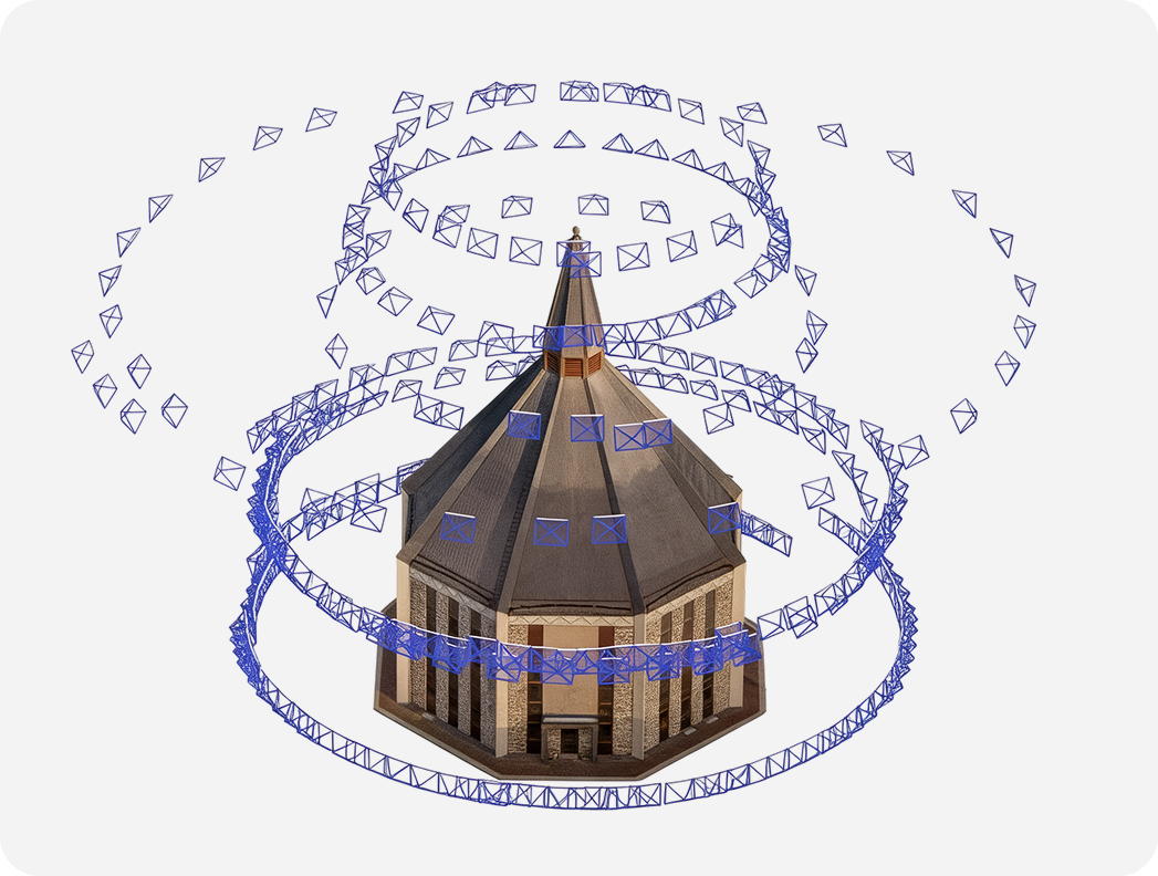
Photorealistic, textured 3D models generated automatically from your photos.
DEM & true orthophoto
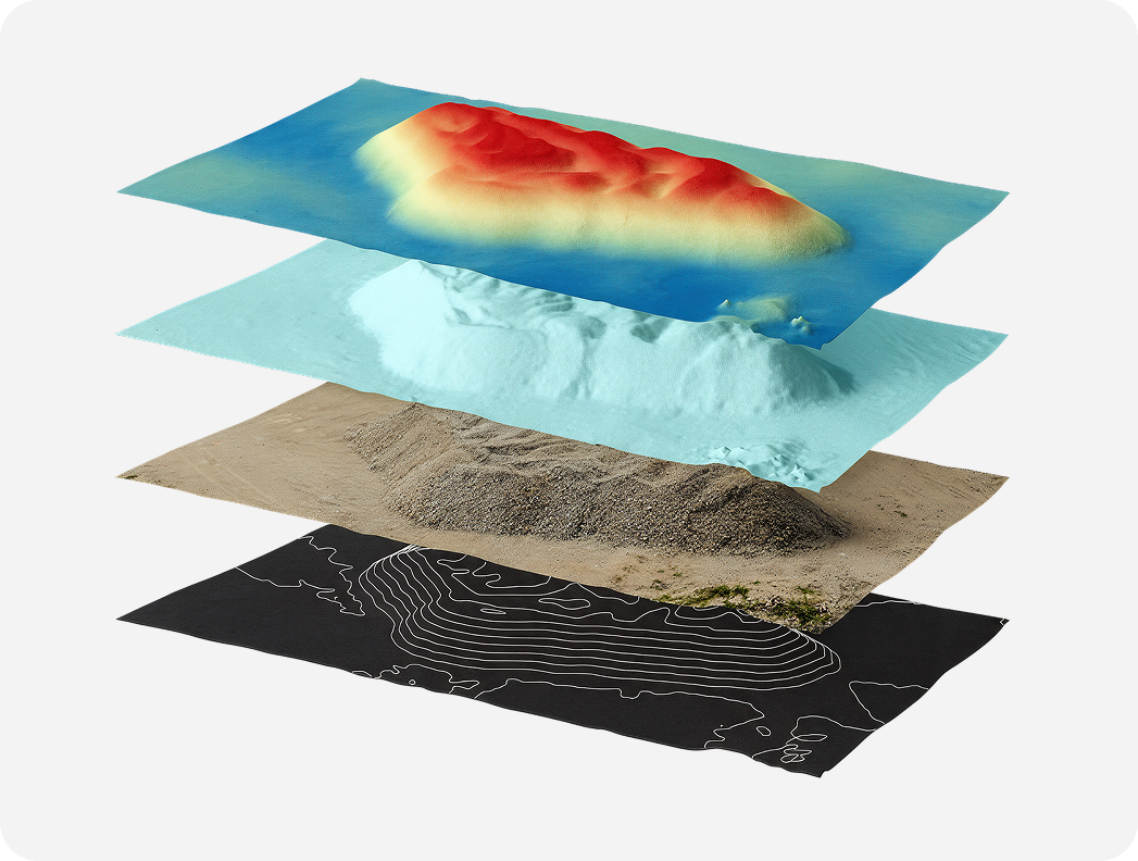
Georeferenced elevation maps and top-down imagery, ready for GIS import.
Precision measurement suite
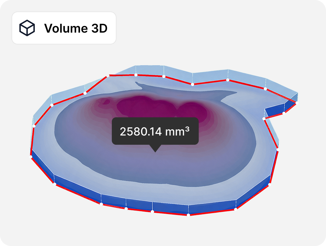
Points, lines, polygons, volumes, and more directly on your data, results update live.
DEM editing without reprocessing
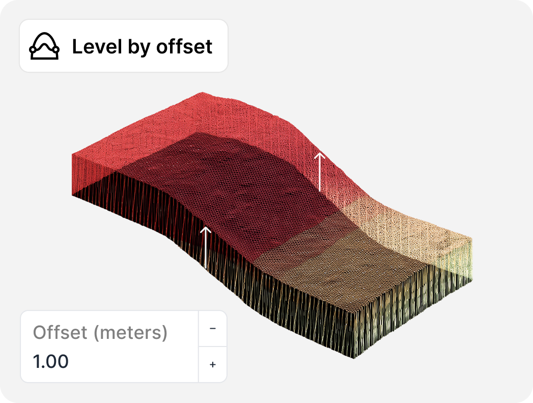
Level, crop, fill, or cut your terrain model without running reconstruction again.
Survey-grade accuracy
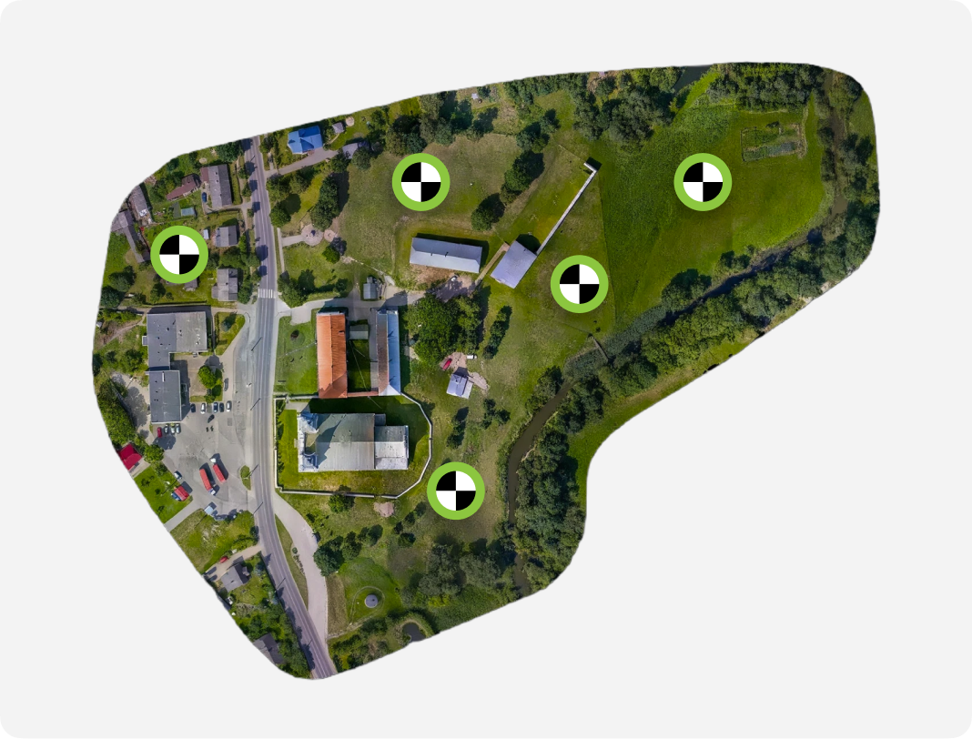
With RTK, ground control points, even in cloud processing.
Export anywhere
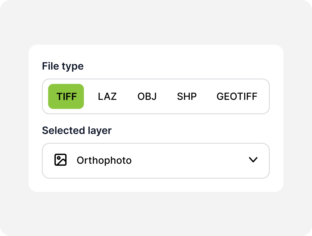
.LAS, .LAZ, .OBJ, GeoTIFF, .SHP, .DXF, .KML and more — your data, your format.
Built for everyday professionals who capture reality
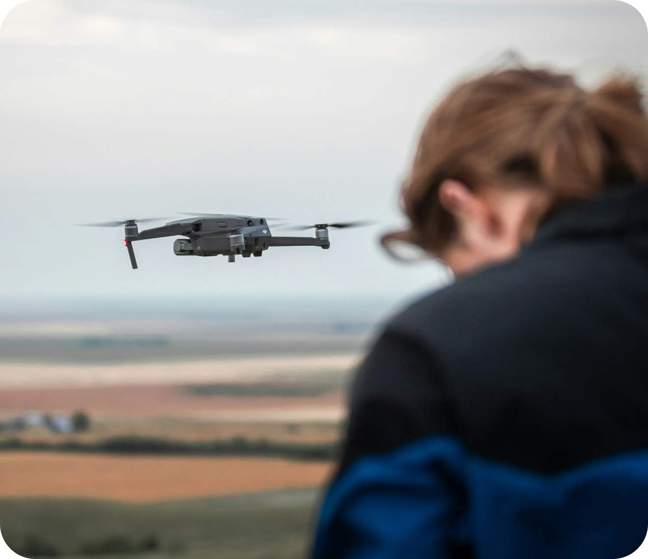
Drone pilots & surveyors
Turn every flight into survey-grade deliverables.

Construction & mining surveyors
Track volumes and progress over time with the Timeline tool.

Agricultural surveyors
Map and monitor fields from a single flight.

Solar designers
Design roof-mounted arrays without a site visit.
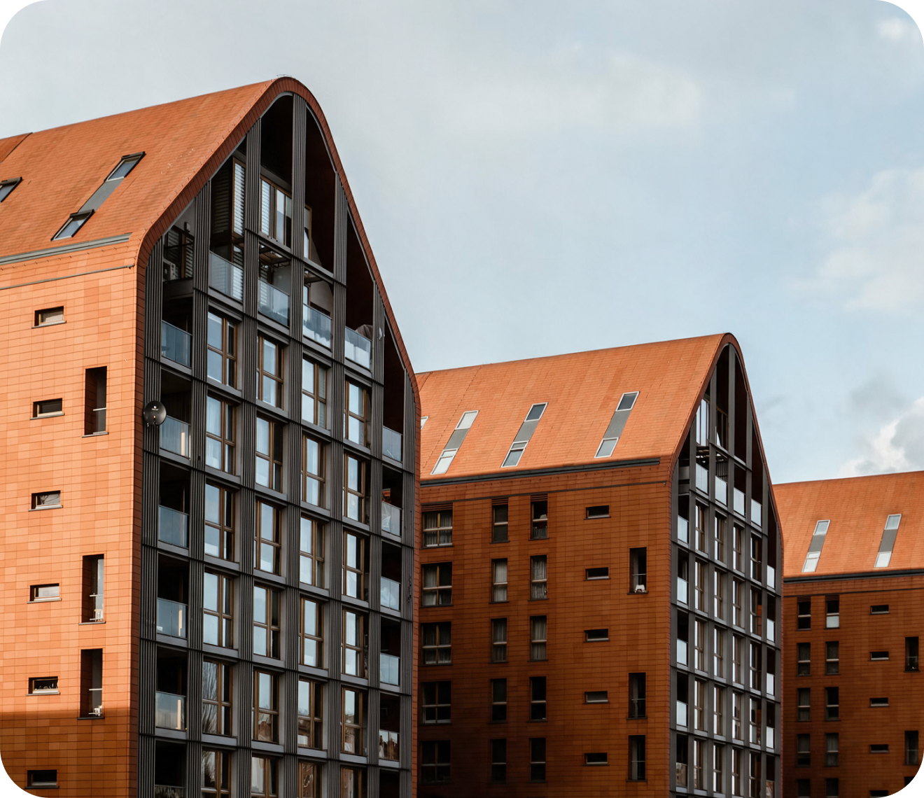
Architects & engineers
Accurate as-built models for renovation and design.
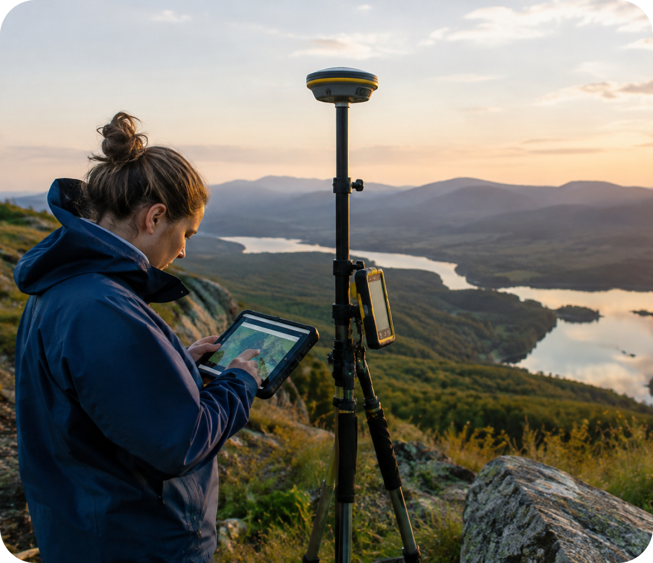
GIS & Mapping Professionals
Export directly into the GIS workflow you already use.
What makes Pixpro different
Simple
No steep learning curve, one-button workflow, clean layer logic.
Accurate
Survey-grade outputs and measurements you can stake decisions on.
Flexible
Export to every format your workflow needs: GIS, CAD, or 3D.
Supported
Real people, real answers. Our team is one message away.
Works with your tools
Your model doesn't get stuck in Pixpro — it moves straight into what you already use.

Capture
Any drone, camera, or phone. RTK data from DJI, Sony, and other RTK-equipped drones is read automatically.
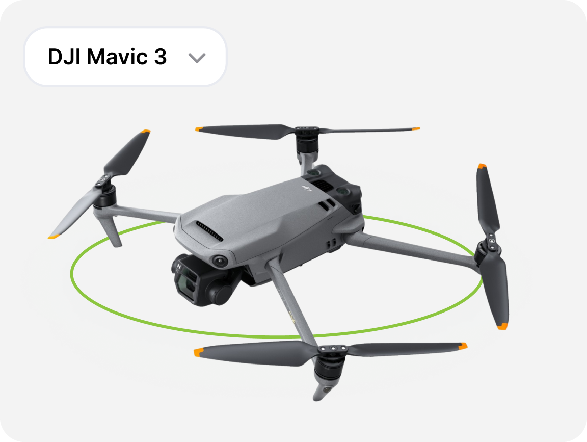
Flight planning
Pixpro Waypoints plans automated flights on DJI Mavic 3 series, Air 3 / Air 3S, Mavic 4 Pro, Mini 4 Pro, Mini 5 Pro, and Lito X1.
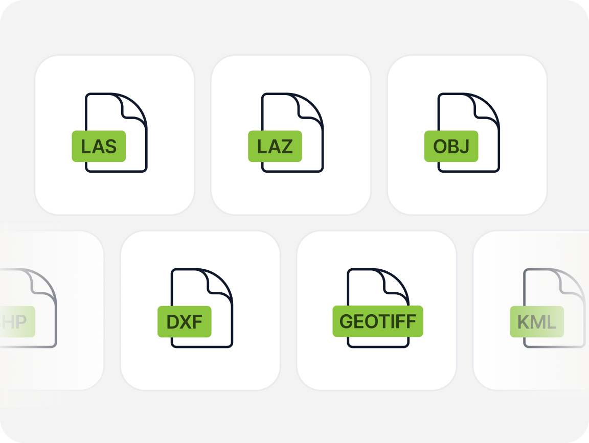
Export
DXF SHP for CAD & GIS · OBJ for 3D & BIM tools · TIF / GeoTIFF for QGIS, ArcGIS, Global Mapper · KML / KMZ for Google Earth · LAS / LAZ / PLY point clouds for any downstream tool.

Supported OS
Pixpro is a Windows application (Windows 10/11). Pixpro Waypoints, our flight-planning tool, works from any device, so planning and flying your capture isn't affected either way.
Pick the plan that matches how you work
Every Pixpro plan includes the full toolkit - point clouds, meshes, DEMs, orthophotos, and more. The only thing that changes is how much you process and how.
Monthly
Yearly
SAVE 50%
What do you get:
Cloud processing — up to 150 photos per project
Full output suite: point clouds, mesh, DEM, orthophoto, contour lines
Unlimited projects and measurements
Pixpro Waypoints flight planning tool
14-day free trial
Solo Plus
For a growing practice and regular projects
€25 /month
Billed annually
What do you get:
Cloud + local processing — up to 300 photos per project
Everything in SOLO, plus the flexibility of local processing
Process locally on your own Windows PC
Manual control at every processing stage for best results
14-day free trial
What do you get:
Cloud + local processing — up to 2,000 photos per project
Everything in SOLO PLUS, scaled for larger projects
14-day free trial
What do you get:
Unlimited photos per project
Cloud + local processing
Custom feature requests
Remote training and hands-on support
What do you get:
Cloud + local processing — up to 300 photos per project
Everything in SOLO, plus the flexibility of local processing
Process locally on your own Windows PC
Manual control at every processing stage for best results
14-day free trial
Still not sure? Talk to us!
Contact UsDo not just take our word for it
See why land surveying software users, drone pilots, and construction teams choose Pixpro as their photogrammetry software.
“Pixpro is a powerful photogrammetry tool but built with the end-user in mind. So it’s easy to use and it took only 2 hours to learn it!”

Laurynas Virbickas
Director, VšĮ “Kauno regiono atliekų tvarkymo centras”
“Now it is easier than ever before – fast and accurate design of solar panels on the roof. And there is no need to access the roof in the design stage.”

Tomas Šimanauskas
Director, UAB “Saulės grąža”
“Thanks to Pixpro guys we were able to expand our service (we were not aware before) for our customers by using the Pixpro photogrammetry app.”

Gediminas Mažeika
Director, UAB “Tetas”
What people ask us most
Find answers to common questions about Pixpro, from creating 3D models from photos to precise measurements, data processing, and photogrammetry workflows. Everything you need to get started and make the most of Pixpro.
Pixpro is a photogrammetry program that turns drone or camera photos into accurate 3D models, point clouds and maps. It's all-in-one drone mapping software and 3D reconstruction software – capture, process and measure without switching tools.