Can Drones Help in Accident Investigation Tasks?
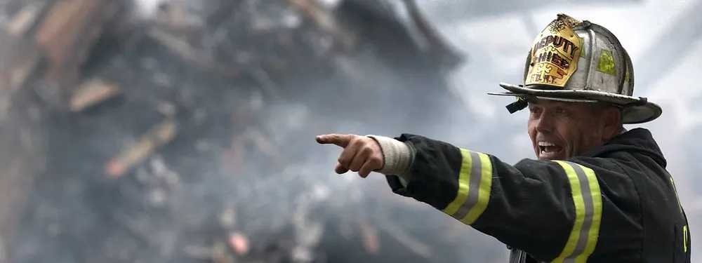
Drones can be a great help not only in business (for example: object reconstruction, mapping, inspection and so on), but also in accident investigation tasks. Unmanned Aerial Vehicles (UAVs) have introduced new ways to address a variety of problems. One area of impact is safety and security. UAVs have the capability of speeding up investigation and analysis by gathering a wide range of images from different angles, since drones can cover a much bigger area with their cameras and don’t face the problem of road traffic. Also, drones become even more valuable in mentioned investigations when using the recreation of accidental situations in 3D. There are many advantages to using drones as part of an accident investigation:
- Data is captured in a short amount of time;
- The UAV can spot missing or injured persons among a wreckage far more quickly from the sky;
- 3D models made from drone data speed up scene clearance, too.
- Accident investigations can be very laborious and costly due to the time required to gather such detail and drones change that.
Let’s talk about the application of drones in accident investigation tasks.
Automotive accident investigation
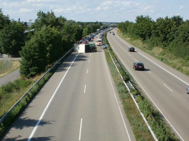
An innovative project has been developed: a method to investigate road accidents using small and lightweight drones packed with HD cameras. The current method of investigating a road accident requires many posted police agents, hours of blocked roads and slow traffic. Consequently, a better and faster solution is needed. The aim is to record aerial footage from the accident within minutes, after gathering necessary footage the scene can be efficiently reconstructed afterwards. This prevents extended road blockage and reduces the time needed for measurements.
Ai transport accident investigation
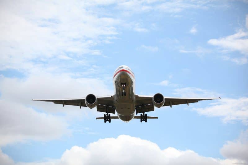
A couple of recent air accidents have employed the use of UAVs to help gather data. For example, the now-infamous MH370 flight (Malaysian Airlines) investigation has used both aerial and underwater drones. Aerial drones were used to aid the search for debris. Underwater UAVs have been deployed to find the wreckage.
Air collisions and accidents are particularly difficult to assess by manual processes. Debris can be scattered over a huge radius, often in rural or hazardous locations. A drone can be deployed over a wide range to collect information and pinpoint potential debris sites with ease.
Helicopters are often used in air accident investigations, but these are costly and have limitations. For example, close mountain ranges are hazardous to fly in, while thick canopy prevents cameras from spotting debris. Helicopters are also very expensive and may not be available in more remote areas.
Marine accident investigation with drones

Marine accidents often have a much wider impact than air or road collisions. This is because of the cargo often carried by the large tankers involved – such as oil. A tanker which has run aground may spill thousands of tons of oil into the sea. The environmental impact of this is huge. However, drones can be deployed to assess the current situation, monitor tidal movement, and allow mitigation plans to be developed.
Disaster management and response
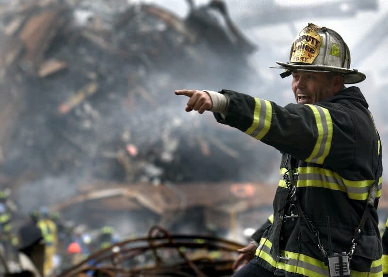
In line with marine disasters such as oil spills, many other incidents have large environmental impact. During accident investigations disaster management is often ongoing while preventative measures are developed for improved future safety. Drones assist in all three elements of disaster management and accident investigation. As we’ve already seen, they provide almost limitless valuable data in short periods of time immediately after an incident. This can be applied to all environmental disasters as well as industrial or civilian accidents.
The technology available to drones also makes them ideal for immediate response – including search and rescue operations for missing people. A drone equipped with thermal imaging can spot people in an earthquake zone. This prevents the need for sending dogs and people to search in dangerous areas.
The future of drones in accident investigation
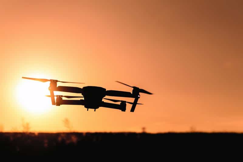
Drones are proving themselves to be vital tools in accident investigation. Whether responding to an environmental disaster or road collision, the huge data sets collected in short periods of time make them ideal for speeding up investigations and reducing costs.
Although drones’ application in investigating accidents is important, their usage is more commonly known in solving business related issues, such as 3D object reconstruction and detailed object analysis to speed up and facilitate the daily work as well as provide an essential information for effective business management.
When solving these mentioned problems with a drone, the photogrammetry based software Pixpro can also help. Different businesses and institutions have different needs. Pixpro team has developed a software that is capable of improving efficiency and safety for many.
Related Blog Posts
Our Related Posts
All of our tools and technologies are designed, modified and updated keeping your needs in mind
Quick Vehicle Accident Documentation with Photogrammetry
Photogrammetry is the ultimate form of documentation. If you are adept at doing photogrammetric scans, you can gather photographic data, resulting in a 3D scene that you can measure. Invaluable when the dependability of the data means solving disputes between people during legal processes.

Event Planning with Photogrammetry
Anyone that has been in the event planning space, knows how intense things can get. Managing human resources, equipment, logistics, participants and crowds. And every event planning journey starts with the venue or the location.
Ready to get started with your project?
You can choose from our three different plans or ask for a custom solution where you can process as many photos as you like!
Free 14-day trial. Cancel any time.
.svg@webp)