.svg@webp)
Pixpro Plugin for CloudCompare
 Lukas
Zmejevskis
Lukas
Zmejevskis

A plugin is a way to add new features and functionality to software. CloudCompare software displays and processes 3D point clouds, meshes, and other spatial data. However, It does not have any photogrammetric data generation features. Our plugin seamlessly integrates Pixpro cloud computing features with CloudCompare. In this blog post, we will explain how it works.
Download and Install
CloudCompare is free, open-source software that you can download right here. If you are already familiar with it, you probably already have it installed; if not, just get the latest stable release. If this is your first time hearing about it, CloudCompare, as the name suggests, was originally designed for comparing different point clouds. Naturally, over the years, the software evolved and has many more features today.
To learn more about this software's capabilities, explore and check out the videos in the tutorials section on their website. Our short summary is that Cloudcompare is a very competent data viewer with various display options and advanced calculation and comparison capabilities, and it is free and open source.
Once you have installed CloudCompare, the Pixpro plugin installation is straightforward. Go to our downloads page and look for the plugin. It will download as a simple install .exe, which will choose the default CloudCompare directory for installation. If you have specifically installed the CloudCompare software to another directory, you must match that for the plugin. Once you have installed the Pixpro plugin, the Pixpro icon will appear amongst other plugins once you launch CloudCompare.
Capabilities of the Pixpro Plugin
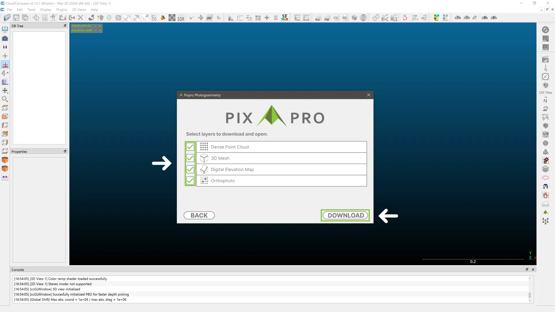
Our plugin allows you to upload photos, process layers on our machines, download them to your computer, and open them seamlessly in CloudCompare. This cloud computing capability is quite similar to what we offer with our software. You get dense point clouds, 3D mesh, digital elevation maps, and orthophoto layers made with our engine.
 It goes without saying that it requires an internet connection for upload and download, and you need an active Pixpro license to use our servers for processing. According to your license, you will have the same photo amount limitations. The Pixpro CloudCompare plugin is a bonus feature for all Pixpro users.
 Once you download the layers, all of CloudCompare's capabilities are available to you. The data is saved to your computer, and you are free to do as you please; you can also import it into any other software you choose. Your photo and processed data will be kept in our database for 14 days, after which it will be automatically deleted. If you want to, you can allow us to investigate photos in case of processing failure and provide our educated feedback on what might have gone wrong.
How To
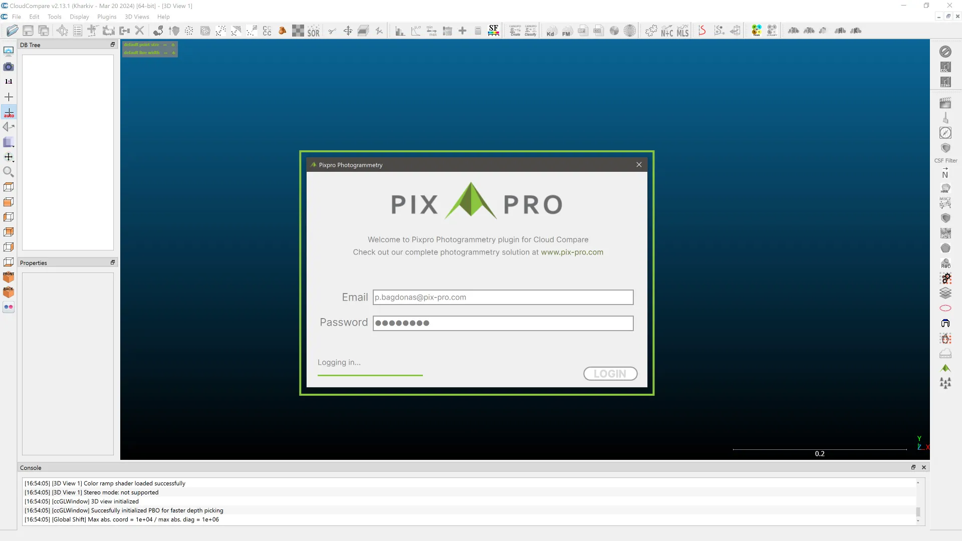
Using our plugins is super simple. When launching the plugin, log in with your Pixpro credentials. Click NEW to create a new project, upload photos, and wait for the upload to complete. You can, of course, close the software once the upload is finished. How quickly your layers will be ready will depend on the busyness of our servers and the number of photos you upload.
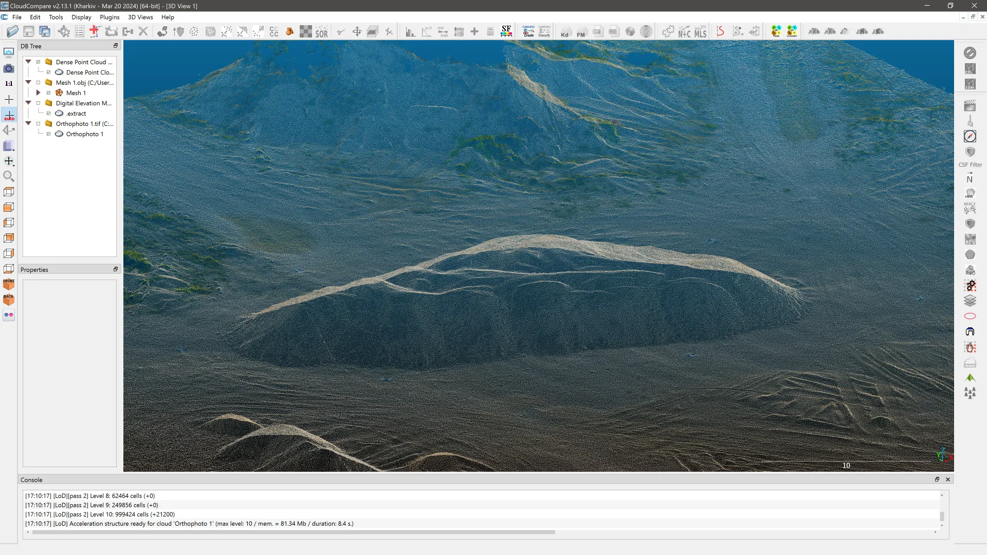
Once the processing is complete, you will receive an email and can download the layers. You can select which layer you want to download, and after the download is complete, they will appear in the DB tree panel of Cloudcompare. Below is a short video that demonstrates the entire process from start to finish.
Conclusion
The plugin functionality is available now for Windows users, while support for MacOS and Linux will come in the future. If you do find that CloudCompare has all the features you need and prefer its user experience, you will have a complete photogrammetry solution for a very affordable price. Also check out Pixpro photogrammetry software, which has the same cloud computing capabilities, local computing options, and many other features.
Photographer - Drone Pilot - Photogrammetrist. Years of experience in gathering data for photogrammetry projects, client support and consultations, software testing, and working with development and marketing teams. Feel free to contact me via Pixpro Discord or email (l.zmejevskis@pix-pro.com) if you have any questions about our blog.
Related Blog Posts
Our Related Posts
All of our tools and technologies are designed, modified and updated keeping your needs in mind

Pixpro Waypoints v2 - Orbitals and Height Offset for DJI Drones
Pixpro Waypoints is a service for consumer DJI drone users that provides consistent and automated flying for aerial photogrammetry purposes. For now, we had the essential single grid flight only, which is the bread and butter for making orthophoto images and terrain scans.
RTK Drone Photos for Ground Control Points
Real-time Kinematic—RTK—is a GPS positioning system that allows for much greater accuracy than any regular GPS device. Consumer-grade GPS is quite sufficient for daily tasks such as navigation, tracking, and photo tagging, but when it comes to surveying, we need more accuracy.

DJI Mini 4 Pro Photogrammetry - Pixpro Waypoints
DJI Mini 4 Pro is the best drone, weighing in under 250 grams, and thus, it avoids a lot of regulations that may be bothersome for some. However, it is also an excellent tool for professionals, many of whom may be interested in aerial photogrammetry.
Ready to get started with your project?
You can choose from our three different plans or ask for a custom solution where you can process as many photos as you like!
Free 14-day trial. Cancel any time.